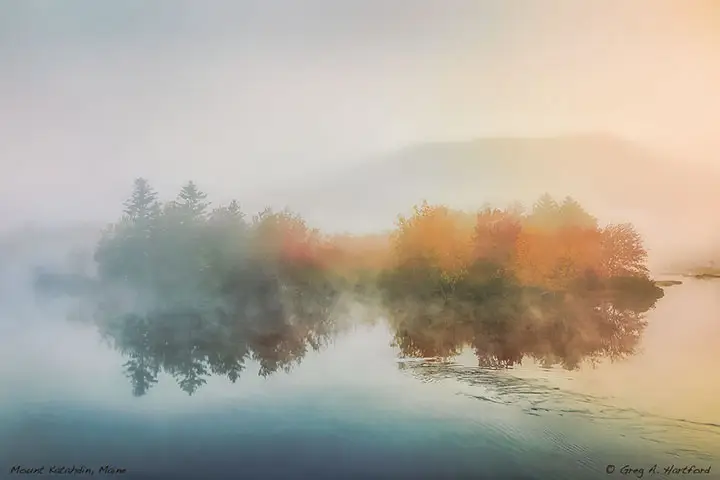
Mount Katahdin - Pride of Maine
Having been born and raised in Maine, Mount Katahdin is forever imprinted in my deepest memories. I was the oldest of seven children during a time when families often traveled to places for picnics and camping. Our most visited spots were Acadia National Park on the coast and Baxter State Park to the north. The sounds of wildlife, wispy pines, and trickling brooks still resonates within the cells of my body. Add to this the smell of balsam fir, wild flowers, autumn leaves, and the smoke of a campfire, and I am fully transported in mind and spirit to the land of my ancestors and the realm of my dreams.
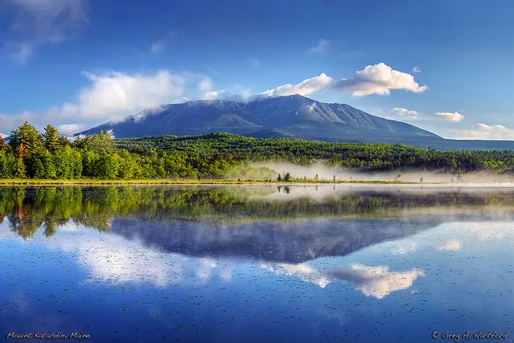
The Abol Bridge on the Golden Road crosses over the West Branch of the Penobscot River. It has a spectacular view of Mount Katahdin and is a little less than 90 miles to the north from Dexter making it an easy drive for an individual, couple, or family. That is an amazing place to see for the first time. However, it is not a public road but rather an old logging road that does not get regular service. Baxter State Park is very close and accessed via a well-kept road. The park is a natural wonderland of the Northern Maine wilderness, a spectacular gift to the Maine people from former governor, Percival P. Baxter.


Driving There? Plan Ahead.
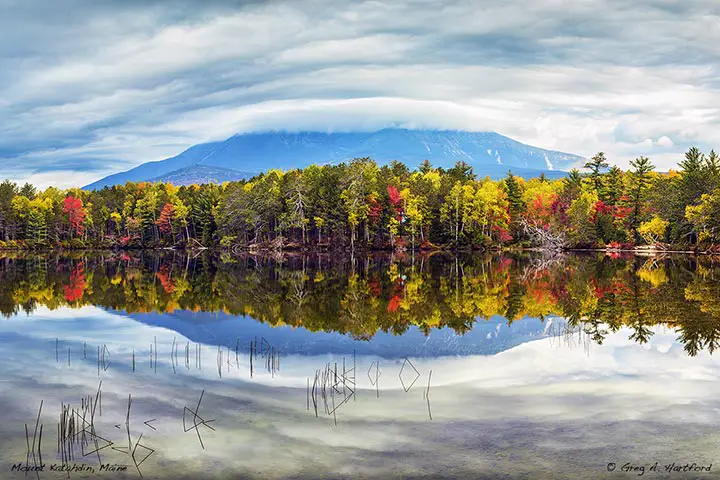
 If you are starting your drive to Baxter State Park and Mount Katahdin from the Central Maine town of Dexter, you may want to consider taking Route 7 to Dover-Foxcroft, then Route 6 to Milo where you would get on Route 11 north all the way to Millinocket. If you decide that you would rather make most of the trip via I-95, you would head north to Medway, then Route 157 northwest through East Millinocket to Millinocket where you would get on the main road to Baxter State Park. If you want to explore the Golden Road, review a map to see locations where you can access it. Keep in mind that the Golden Road is not a regular serviced public road. It was an old logging road that was owned by the paper companies. And, as is the case in many of these northern wilderness places, there often is no cellphone service, and no electricity, gas stations, bathroom facilities, etc. Plan for a variety of situations. I have often traveled there during all of the seasons but I grew up in the state.